Jonathan Hefter
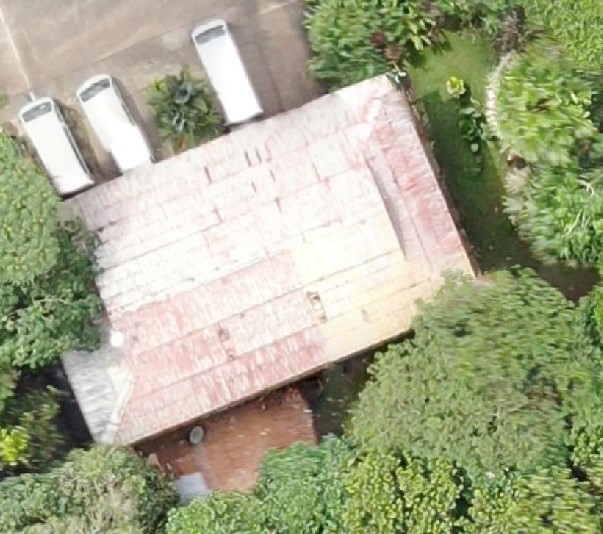
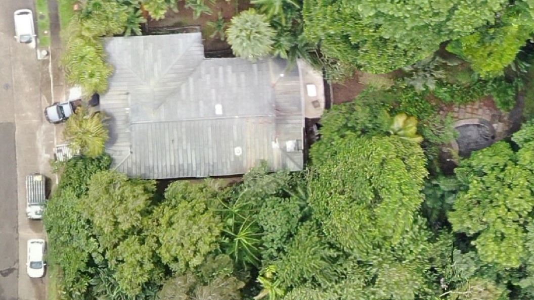
During dinacon, we utilized aerial photography and photogrammetry to create an aerial mapping of Gamboa.
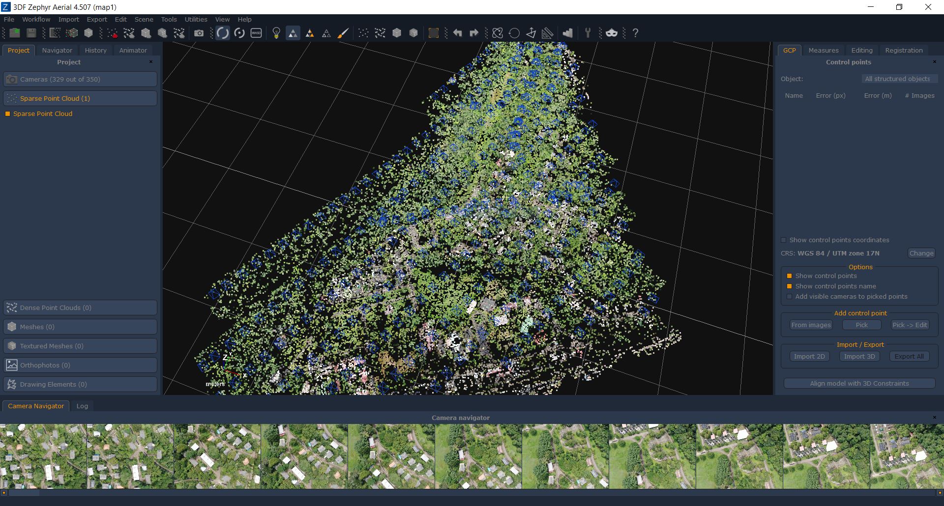
First, we used the resident dinalab drone, a DJI Mavic 2 Zoom, and an online tool, DroneDeploy, to create a flight plan that would send the drone autonomously zigzagging across Gamboa, producing hundreds of high-quality photos. Then,we processed the photos with software that performed photogrammetry – a technique that measures the difference in perspective from multiple photos to create a range of specialized digital images. Some of the software we tried for photogrammetry included DroneDeploy, 3DF Zephyr, Metashape, and OpenDroneMap.
One limiting factor was computing power. Photogrammetry is a very processor-intensive operation, best done with powerful graphics cards. For this project we only had the CPU of a Lenovo X1 Carbon ultrabook, leading to many hours of processing to achieve maps of medium detail. Fortunately, the DroneDeploy software is cloud-based, so we were able to get quick results with that. Additionally, by fine-tuning settings and allowing the laptop to process overnight, we were able to get good results with the other software, particularly 3DF Zephyr.
Models are all opensource and available here: https://drive.google.com/open?id=19eKoAMwny8L8_hqb_ZFEF0w98g-6tIlv
(And soon on sites like Thingiverse)
The following images were processed using DroneDeploy.
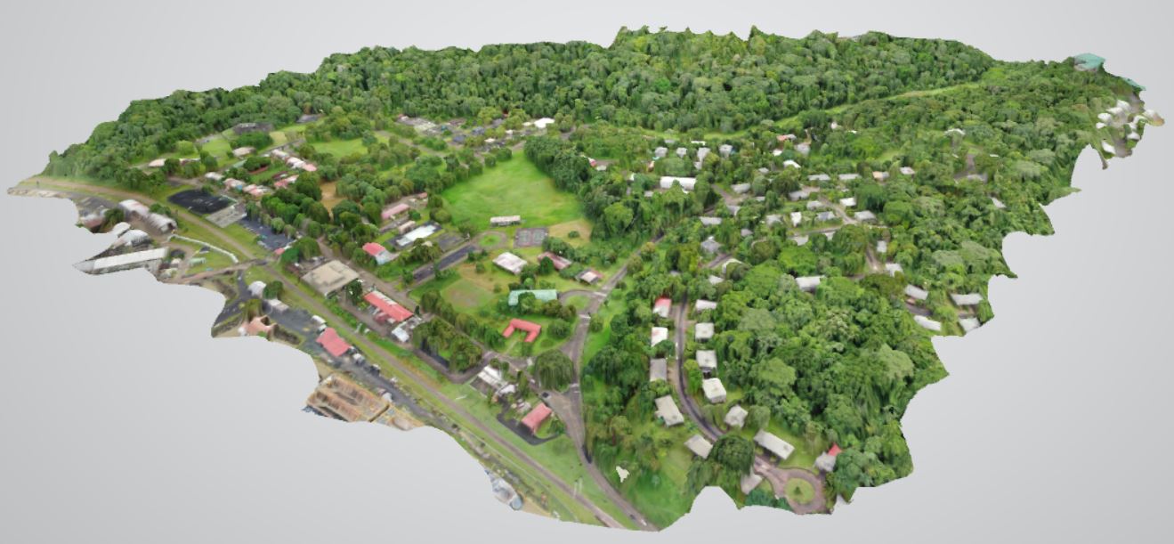
3D Model
This 3D model of Gamboa is an obj file, which can be imported into Unity or printed with a 3D printer.

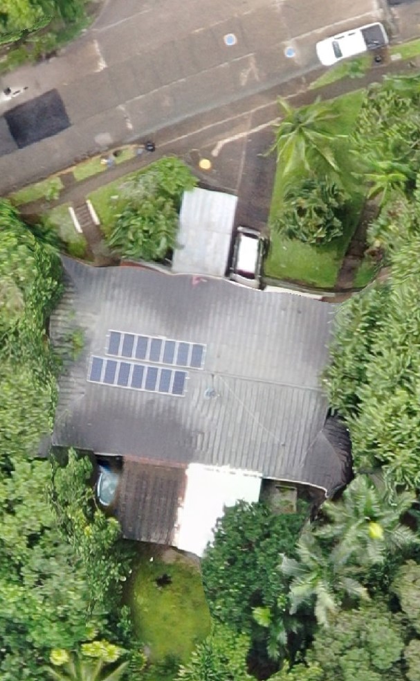
Orthophoto
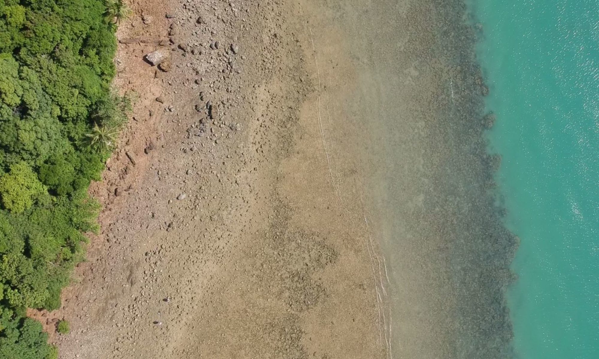
An orthophoto is an aerial photo that has been geometrically corrected, giving an accurate, uniform scale between points on the map and providing a direct, top-down perspective for every point of the image.


Elevation Map
Displays relative elevation of an image, from lowest (blue) to highest (red).
